LOCATION
Context and Boundaries
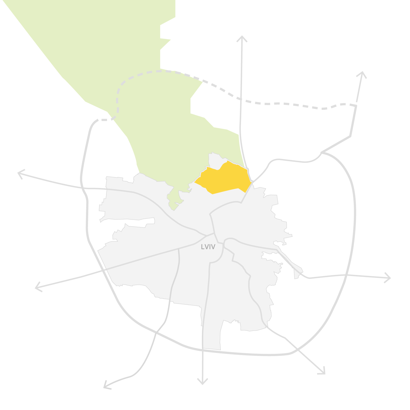
Lviv North is a ~690-hectare urban-edge area in Lviv’s northern expansion zone, including Zboishcha and parts of Zamarstyniv and Holosko. The site is bounded by the city limit to the north, then by Zhovkivska, Bohdana Khmelnytskoho, Hrinchenka, Hetmana Mazepy, and Zamarstynivska streets.
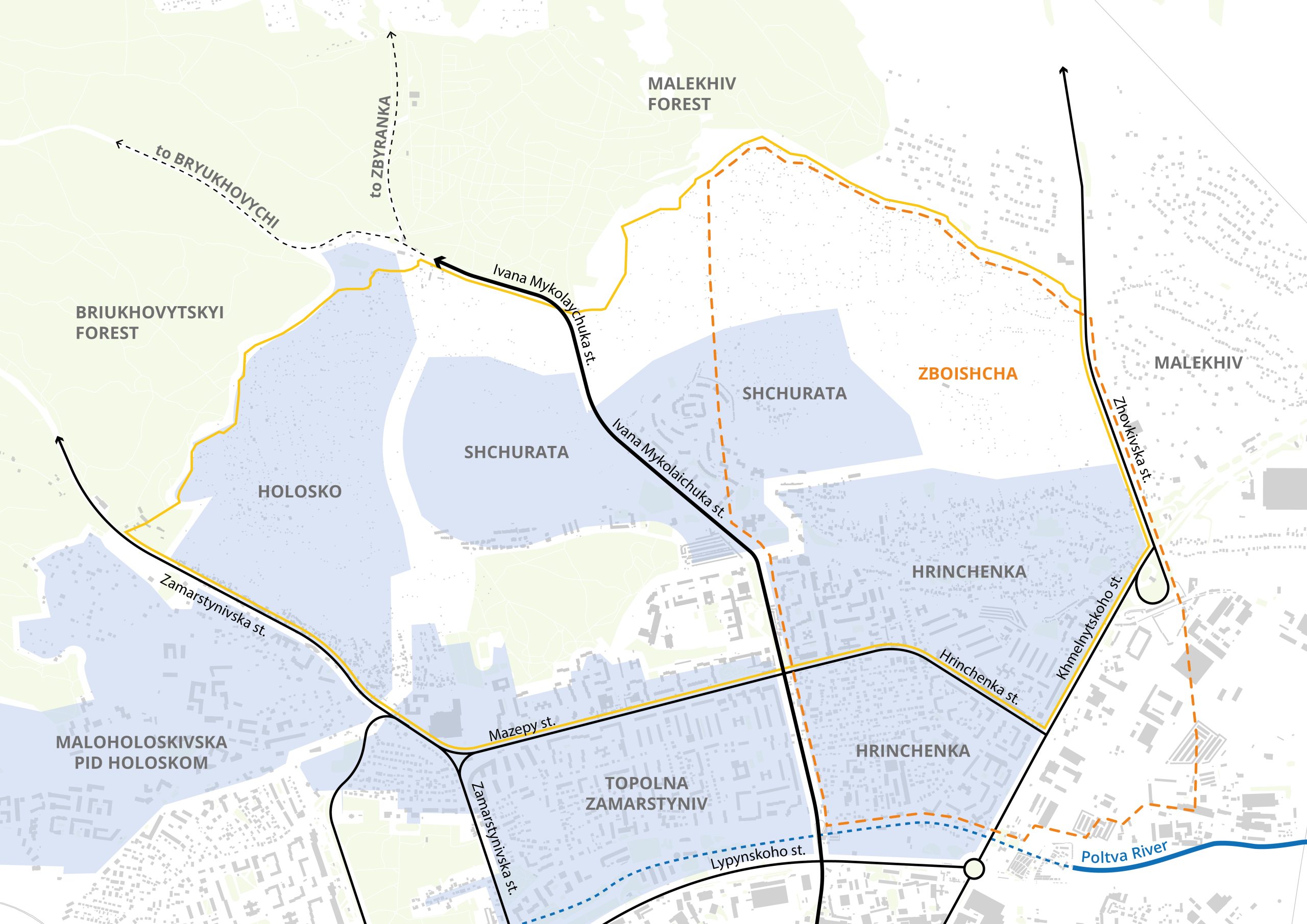
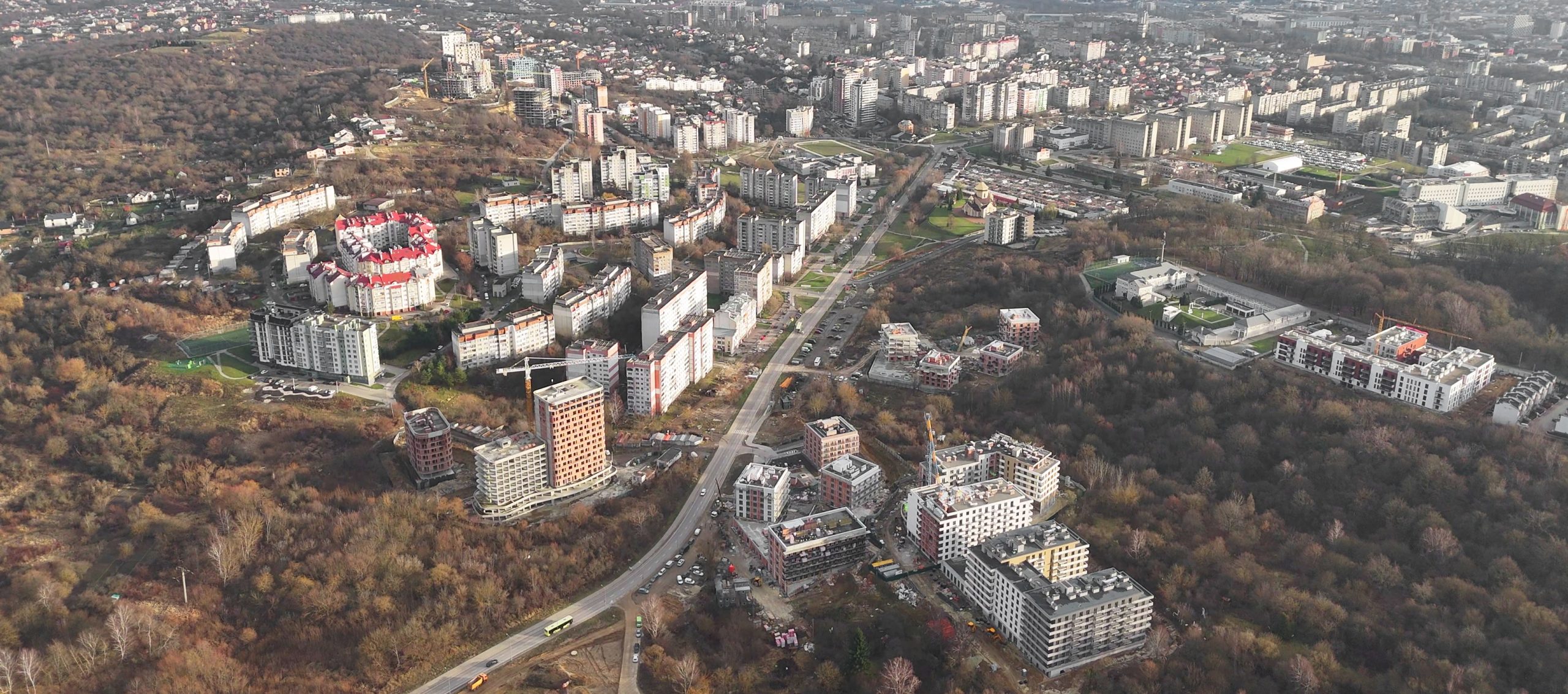
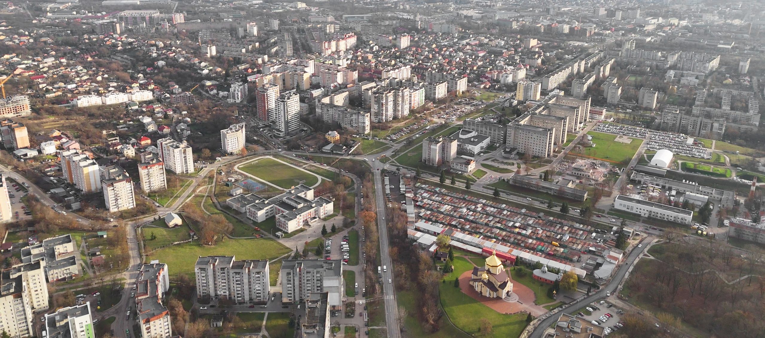
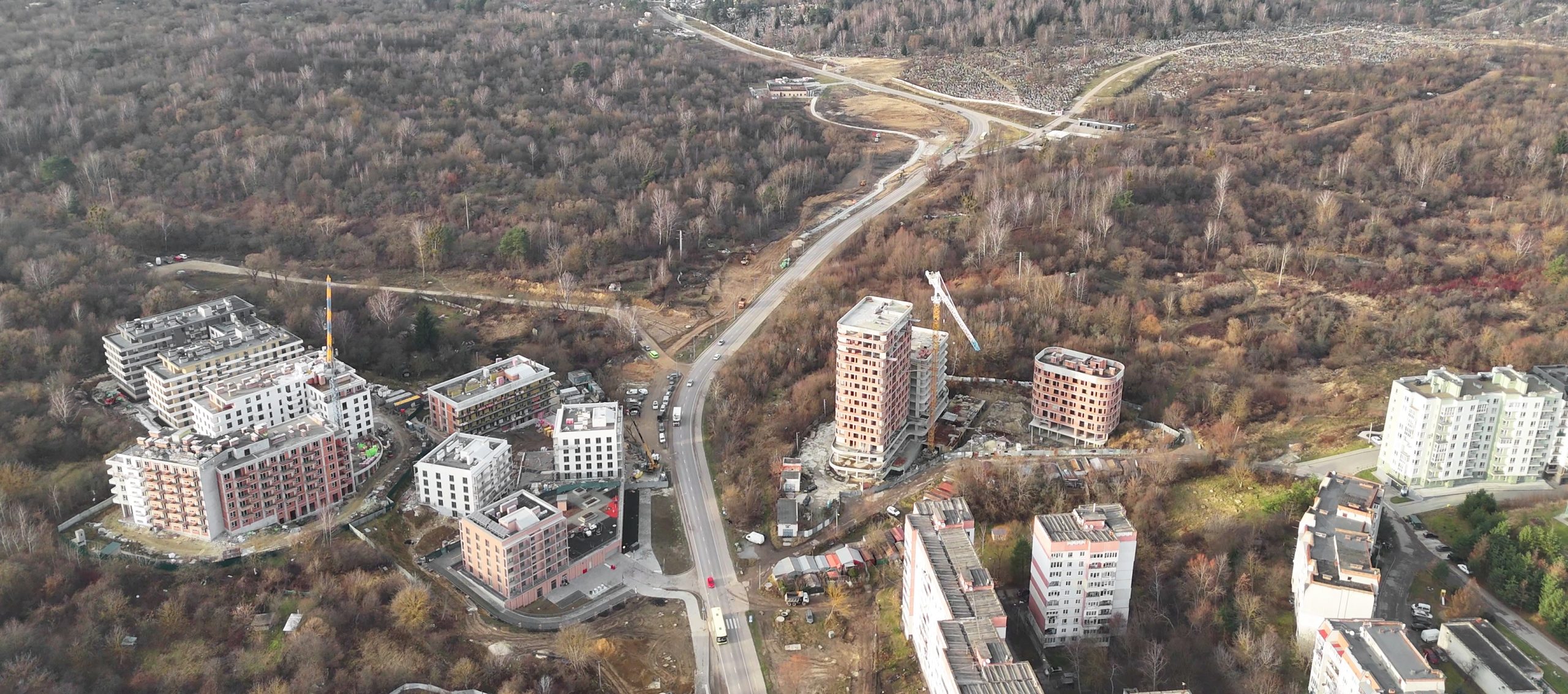
The area combines post-Soviet neighbourhoods, fragmented private plots, municipal land reserves, and major green spaces — borders the wider forest belt of Briukhovychi Forest and Malekhiv Forests. The area is structured around its main corridor, Ivan Mazepa Street, which also hosts UNBROKEN, Lviv’s municipal rehabilitation and recovery ecosystem.
History of the area
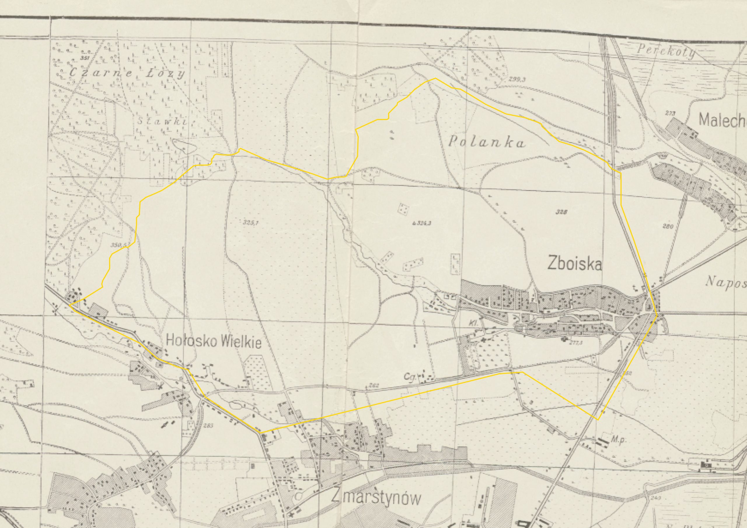
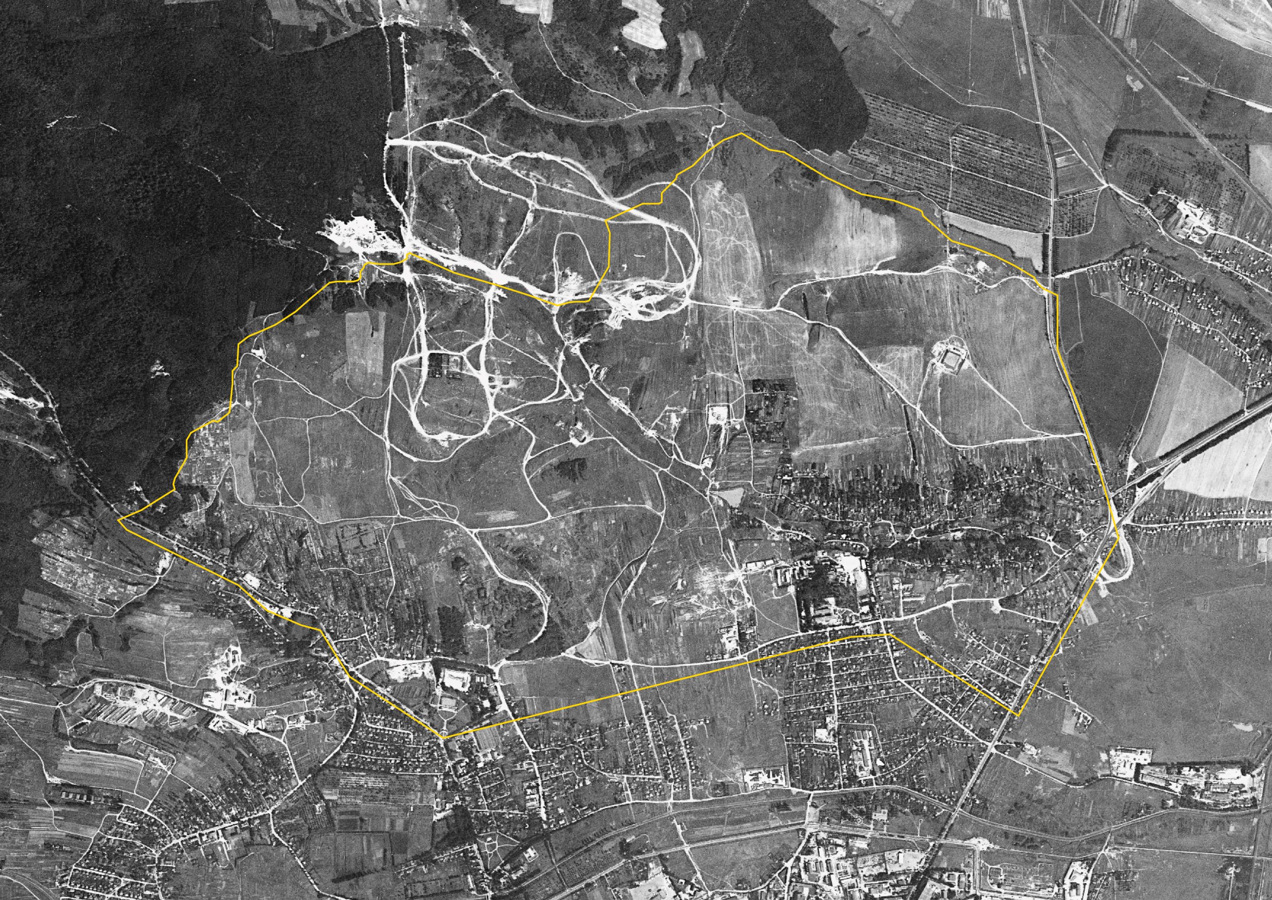
 Zboishcha still had the character of a suburban village on Lviv's northern edge. Fields and scattered rural housing dominated, with streams and valleys shaping the landscape. A main northern road connected it to the city. (1918 map)
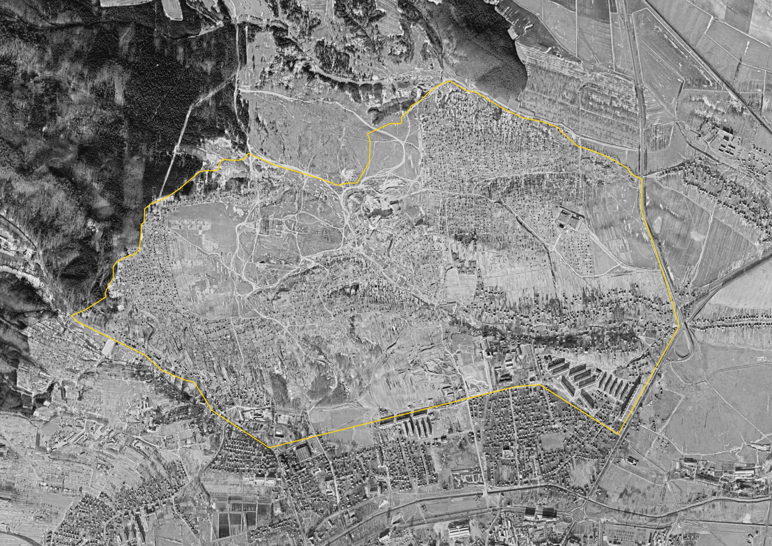
- The area was still mostly low-rise and rural in character. Historic Zboishcha formed the main settled core, surrounded by gardens and open land. Large-scale Soviet housing had yet to arrive. (1966 satellite image)
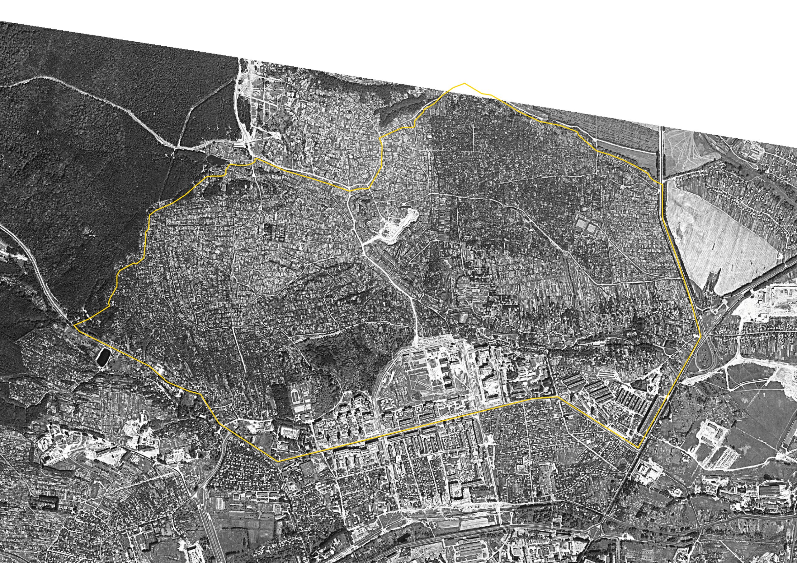
- The first Soviet housing blocks began to appear here — the future districts of Shchurat and part of Hrinchenka. New apartment buildings emerged, but internal streets and connections were still missing, leaving the area feeling unfinished. (1974 satellite image)
- This image shows the garden cooperatives clearly — large clusters of small plots. This land-use pattern would remain one of North Lviv's defining features for decades. (1983 satellite image)
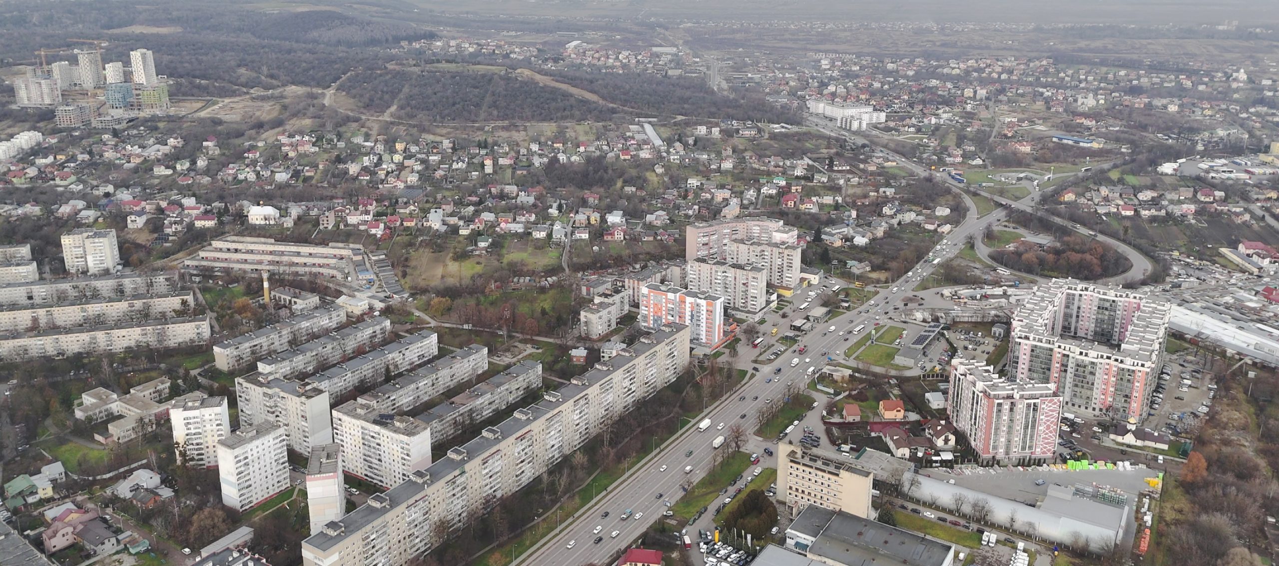
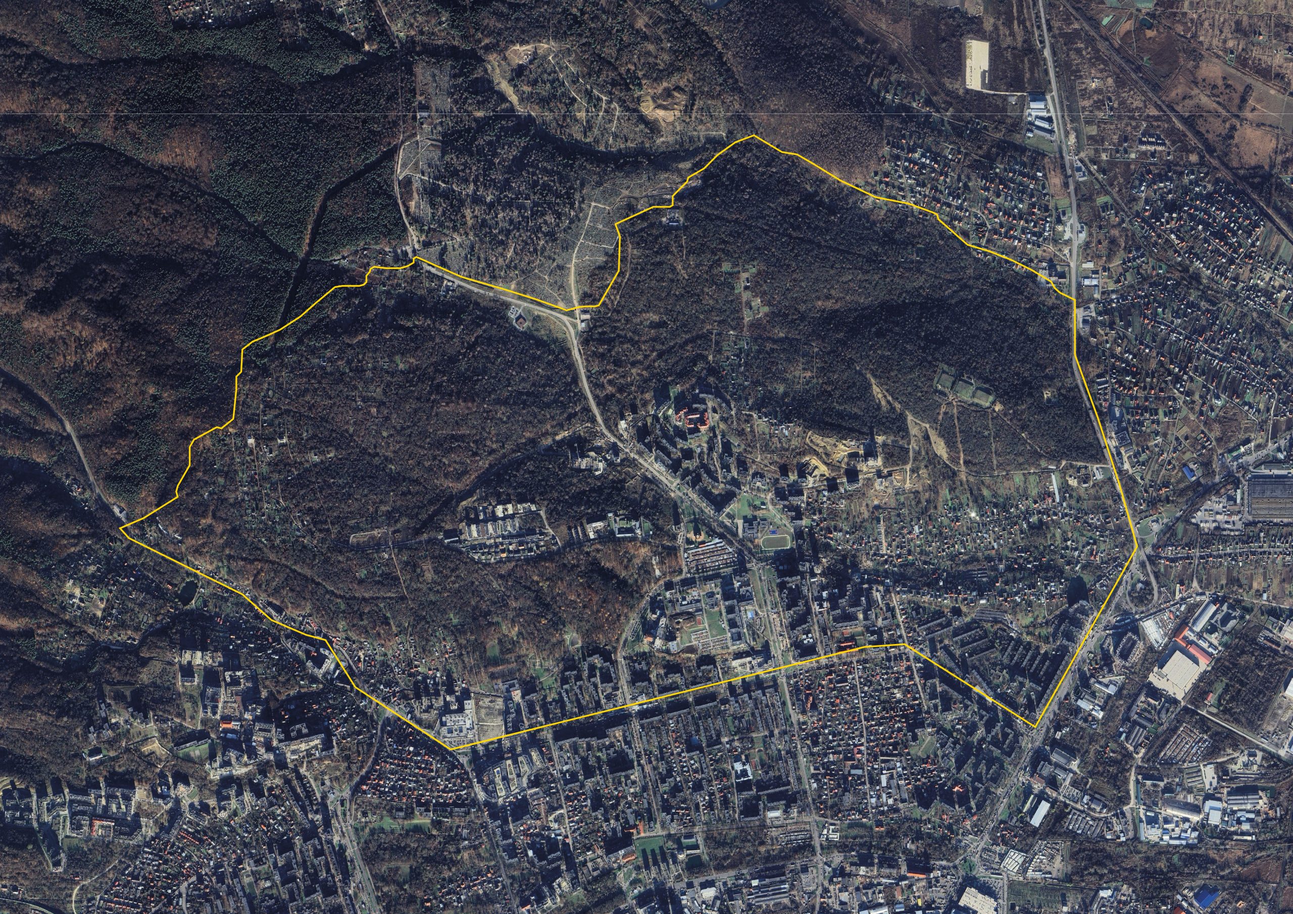
- Today, North Lviv is built up in layers: the historic core of Zboishcha, Soviet-era microdistricts, and large garden plot areas gradually turning into housing. The area keeps growing, but its street network and public spaces still need better coordination for the district to function as a whole. (2026 satellite image)
What is happening now?
Since the start of the full-scale invasion, Lviv has seen a sharp rise in the number of people who need support — internally displaced persons, veterans, injured civilians, and families requiring long-term treatment and rehabilitation. This has driven demand not just for housing, but for the services and infrastructure that daily life depends on.
At the same time, the UNBROKEN ecosystem — a citywide medical and rehabilitation cluster built around Lviv’s First Medical Association — is expanding fast, reinforcing North Lviv’s role as a major urban hub.
All of this is happening just as Lviv’s current General Plan, approved in 2008, reached the end of its planning horizon in 2025. Meanwhile, development in North Lviv is still largely governed by a 2014 Detailed Territory Plan (DPT) rooted in late-Soviet planning approaches. That modernist logic doesn’t sit well with the area’s natural landscape, and it’s created real conflicts between development and terrain. That’s why the need for updated planning tools and a shared vision for North Lviv’s sustainable development is more urgent than ever.
To meet this challenge, Swiss Network with Ukraine, together with the Department of Architecture and Spatial Development and Studio Zmist, in partnership with the cities of Lviv and Zurich and the Canton of Zurich, launched a test planning process to develop scenarios for the area’s future. The goal is to produce a framework spatial development plan and a workable strategy for detailing it further through subsequent planning processes.